 |
| Smooth sandstone walls, arches, caves and grottoes |
While we continue to live in a situation where very few leisure things work*, we have to make do on our own the best we can. Last week we arranged a couple of hikes and I would like to record them. I’ll start with the last one, a hike to Punta Arenas aka Punta de las Arenas, Punta de las Arenas Blancas, a relatively short hike between the old road to La Aldea de San Nicolas and a light colored sandstone cape below it. The various names of the place all refer to Arenas, i.e. sands. I read that what is now sandstone used to be the sand of a beach which due to geological processes has risen above the level of the sea and is now effectively a fossil of a beach. The sandstone is pale yellow, hence the name of Arenas Blancas, i.e. white sands.
 |
| The cape, as seen from the beginning of the walk. Most of the path down is done in the shade |
Some time ago a friend showed me various photos and videos of spectacular sandstone ravines at the western edge of Gran Canaria. It was so beautiful, I immediately wanted to go.
Unfortunately, there is no way to get there by public transport, unless you feel inclined to start somewhere in the center of the island or in La Aldea or Agaete, make a veeery long hike and spend a night on the cape. As a fitness challenge, I guess you could go and come back on the same day, but I’d consider that a bit of madness. The whole area is also called Playa de Artenara, because that’s where the coast of the Artenara municipality is, but it would be a mistake to think that it is somewhere close to Artenara village — a mistake that some tourists anecdotally commit from time to time. Artenara village is the highest village on the island and very close to its geographical center, so... don’t go to the village if you wish to go to the cape.
 |
| Beautiful. I believe the stripes are called Liesegang bands, feel free to correct me |
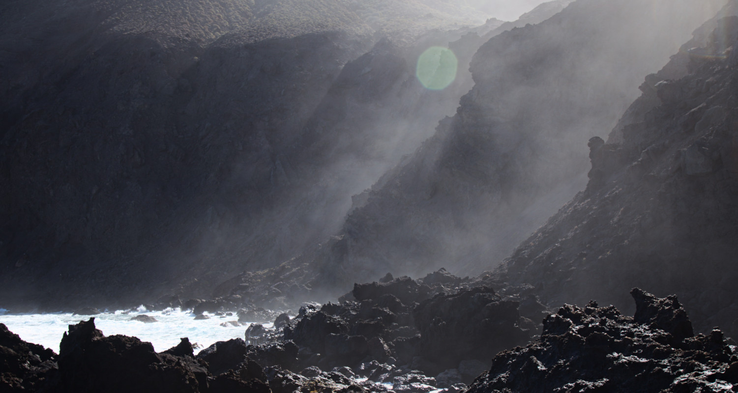
So. How to get there? A bit tricky, admittedly. Up to about two years ago, the most difficult and the most spectacular road on the island was one between La Aldea de San Nicolas and Agaete. It still is quite difficult, but around that time a long tunnel, the first of at least two planned, was opened between El Risco and La Aldea, thus cutting the travel time by about 25 minutes and making the whole thing a lot safer. The old road was partially cut, so some of the most breath-taking twists and turns are not there anymore. But the old road is still there up to a certain point — to the turn to dirt track that goes to the Tirma estate. There is a metal barrier and that’s where you can park your car. On foot, you go around the barrier and in about thirty meters along the unused road there is a stone-paved viewpoint with a sign “Anden Verde”. On the edge of the viewpoint the real hike starts, first as a paved path going down to a ruined house. The ruined house is not that interesting, although there is another beautiful view from a crest to the right of it, in about a hundred meters.
 |
| View from the road. The second viewpoint is on the left, on the top of the crest, to the left of the vaguely frog-shaped rock looking into the sea. |
After you’ve admired the view, you return back to the house and to the end of the paved path. If you are facing the sea, the normal unpaved hiking path starts to your left. The slope is near-vertical at this point, and the path goes right next to it. You go down in a zigzag first, maybe twenty meters down, and then the path runs along the slope more or less horizontally. Follow it for a kilometer or so, till you come to a narrow ravine, full of loose stones, after which the path seems to disappear. Don’t worry. You are going down anyway, and the final destination is almost always visible. When we went, there seemed to be more than one path going down the slope between low bushes, look for cairns if you are not sure, but just keep in mind that you need to go down as safely as possible. After some scrambling down you will see a path that clearly starts on the other side of the ravine you crossed. Cross it back, get onto the path and follow it. In a little while you will pass another set of ruins, and just a little bit further on the path starts running on a sandy surface. You will find yourself by one of the sandstone ravines, the main attraction of this hike.
 |
| One of the sandstone ravines, Faneque massif in the distance to the right |
In theory, there is one more thing to see and do there — visit a small beach Playa de la Virgen to the right of the sandstone ravines when you look at the sea. It is only possible when the tide is low. With calm ocean, you can even bathe in there, or so they say. My companion chose the right moment as far as the tide was concerned, but, as it happened, we didn’t have much luck with the ocean. The waves were quite big, and of the beach nothing could be seen at all. We didn’t try to go down there, we are not that crazy.
 |
| See the foam and black rock poking through? That’s where the beach wasn’t. |
Despite the absence of the beach, there was still the possibility to have a dip in the rockpools which are found just where the first sandstone ravine runs into the ocean. To access them you have to scramble over volcanic rocks, so please be careful if you decide to do that. The pools are separated from the ocean by volcanic rock. By the wetness of the rock, I am guessing you should only ever try to bathe there in low tide. When we were there a couple of big waves splashed over the rocks and into the pools, so when the tide is higher, it must be really unsafe.
 |
| Rock pools. Once my companions got out, it became obvious that there is a lot of fish there, some quite colorful, which were hiding away while humans were splashing around. |
Now, the star attraction. The sandstone ravines are similar to an enlarged version of El Barranco de los Enamorados on Fuerteventura, except they are quite wide and with no side branches, so there is no need to squeeze in tight places. Most of the sandstone structures are in the left one, as you look at the sea, but the most beautiful mushroom-like growths are in the right. Below are a few samples.
 |
| Mushrooms in the right ravine. |
 |
| Part of the same structure. Beautifully abstract. |

 |
| View towards Faneque and Agaete from the mouth of the right ravine |
 |
| View upwards to one of the shelf-life protrusions in the wall of the left ravine |
 |
| Left ravine, when the sandstone changes color, there are a lot of snail shells on the wall. I was told they were seashells from the fossil beach. |
 |
| Tall walls of the left ravine |
Instead of retracing our steps completely, some of us decided to climb up the wall of the left ravine, thus saving a bit of treading the sand. We did fine, but I think it is not really recommendable. We found some reasonably rocky place to start the climb, but as you come closer to the top it turns into sandstone again, and is quite crumbly.
 |
| Reflections of the clouds in the ocean on the way back. |
This spectacular walk is of medium to hard difficulty due to the steepness of the path and the sand surface. To and fro is only about nine and a half kilometers, including the visits to the ravines, but you accumulate more than six hundred meters of ascent and descent, so you do need to be in good shape. The path along the rock slope is narrow and could be slippery when wet, so not for people with vertigo. Allow four hours for just the walking + some time for stopping, eating, bathing and what have you.
As to the route — here is an excellent, if a bit too didactic, description, with a lot of photos, image of the route on GoogleEarth and a video, all in Spanish.
More photos of the walk — here
--------------------
* At the moment of writing, my favourite travel company Arawak still doesn’t run walks on Canary Islands. Waiting and hoping, waiting and hoping.


No comments:
Post a Comment