Sunday, December 05, 2021

Altavista, or Azaenegue

View west from the viewpoint, La Aldea de San Nicolás to the left

A walk along the crest of Altavista, or Azaenegue in aboriginal language, towards a viewpoint on the end closer to La Aldea is one of the easy and beautiful linear walks in the vicinity of Artenara village, on the edge of Tamadaba nature park. It does have some ascents, with the corresponding descents, but they are as light as they go on the island. There is no getting lost either. The only problem here is the transport to the start of the walk, the same as in nearly all of the walks to the west of Artenara. Once again, driving, or being driven, is the most realistic option for a one-day trip. But, unlike Faneque, you can do it if you stay in Artenara village; you can even do the longer version of the walk starting in Artenara and using the public transport, but you will have yourself a very tiresome day.

Faneque behind the solitary pine. The pine was burnt partially in the Valleseco wildfire in 2019

Saturday, November 20, 2021

Faneque, the first attempt

Faneque, as seen from Tamadaba campsite viewpoints. Teide floating serenely on his cushion of clouds

Faneque, the tallest above-sea cliff in Europe, is always very prominent when you are in the northwest of Gran Canaria. It looks infinitely majestic and quite, quite forbidding. The side view gives you an impression of a series of three plateaus, separated by sharp V-shaped drops. Plus, people always talk about “the last platform” or “the last point”, which contributes to the same impression. It’s not really true, of which later.

Tuesday, June 08, 2021

El Camino del Cartero, The Postman’s path, Gran Canaria

La Aldea de San Nicolás to the left. To the right, a new road.

La Aldea de San Nicolás, or simply La Aldea, is the least accessible village of all on Gran Canaria. There are three roads leading to it — one from Mogan, another from Agaete, and another from the central part of the island, Artenara and Tejeda. All three of these roads are quite long on the island’s scale, narrow, curvy and difficult, and at least two of them close whenever it rains. Emergency services occasionally have to go to La Aldea by helicopter, which of course has its own limitations.

Sunday, May 09, 2021

Risco Blanco — Pico de Las Nieves — Cañadon del Jierro, Gran Canaria

Risco Blanco, The White Cliff, shining under the sun.

After we had been finally released into the wild post-quarantine, we successfully attempted several quite difficult hiking routes. The temporary (we continue to hope) closure of our favourite hiking company made us go where they’d probably never taken us, for the reason of it being too risky or too hard or both.

Tuesday, April 27, 2021

Double dose of spring, Gran Canaria

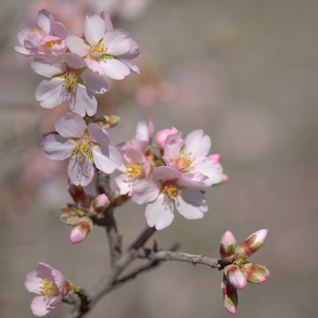
Almonds of Tejeda

This year, since we are allowed to go out and look at the beautiful spring of Gran Canaria, we try to do it as much as possible. Last spring, as I am sure everyone remembers, all or nearly all of Europe was in quarantine. What not everybody knows, perhaps, is how unnecessarily draconian the quarantine was in Spain. We were not allowed to go out of the house except for necessities. Said necessities didn’t include walking or any other form of outdoor physical exercise. Only dog owners were allowed to walk their pets, which give raise to infinite number of memes showing dogs being walked to exhaustion.

Even after we were finally allowed to get out a bit, the requirement of not getting too far from the house was imposed, thus preventing us from seeing the last flowers of spring. So, this year we try to compensate for that. I already did a number of hikes which I haven’t attempted before, and maybe I will write about some of them in details, but this post is here just to show the spring flowers and give very brief indicators as to where and when they could be seen.